Geography and History
of the Village of Freeland
Name: Freeland (after Medieval Frithland)
Location: About 2 miles North of Eynsham, 5 miles East of Witney and about 9 miles North West from Oxford centre.
Population 1,500 (570 houses)
Height above Sea Level: 100 - 110 metres
Short History: Freeland was founded as a medieval freehold, probably originating around the site of the present Elm Farm, near a wood called the Frith in the 13th century.
For a more detailed history see "British History Online".
The older part of the Village lies around the Green and by the two Churches, with Blenheim Lane and Pigeon House Lane leading off from this area. Several housing developments are found either side of Wroslyn Road (the main road through the Village) which were built in the latter half of the twentieth century. These include: Parklands, Church View, Walkers Close, Broadmarsh Lane, the Blowings, Woodlands, Websters Close, Hurst Lane, Nash Lane, Oakland Close, Busby Close and (most recently) the Dawes on the A4095 Witney Road and Willoughby Fields at the site of the former garage on Wroslyn Road.
Facilities: There are two Churches: St Mary the Virgin and the Methodist Church; a modern Village Hall with sports changing facilities; a Pub: The Oxfordshire Yeoman; a Guest House: The Shepherd’s Hall; a school: Freeland CE Primary School and a residential Nursing Home.
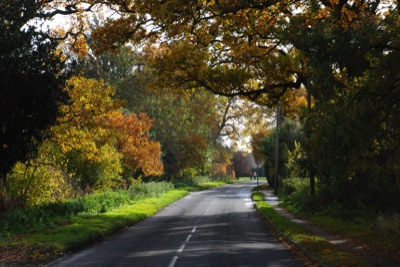
Wroslyn Road looking toward the Green
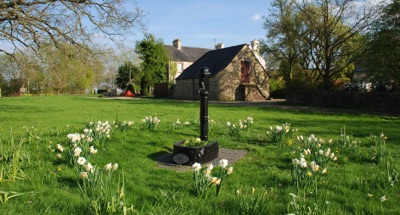
The old Pump on the Green
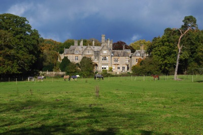
Freeland Nursing Home
Photos © Peter Newell 2013