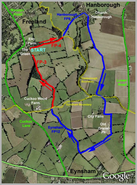
Freeland - Church Hanborough - City Farm (Eynsham) - Freeland
Distance 4.3 miles.
This walk is almost entirely on footpaths and is generally an easy stroll.
However there are a couple of challenges: (a) There is a diversion just before City Farm to avoid a land reclamation area.
(b) More seriously on the final leg, as the path crosses the stream marking the boundary between Freeland and Eynsham, there is a short section that can be very muddy in the winter or after heavy rain.
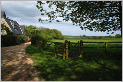
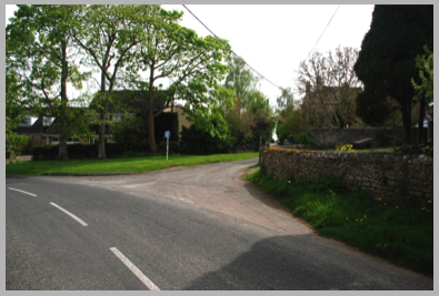
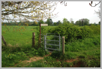
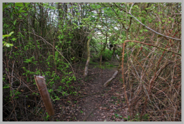
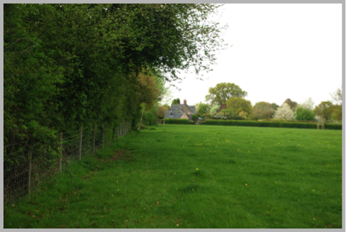
The walk starts at the Village Green. Head past the pond and at the start of the track to Vincents Wood you will see this swing gate on the left just beyond the last house.
This area is the old heart of the village and the wood on the left of the path which is now called ‘The Thrift’ was formally called ‘The Frith’, an Anglo Saxon word having the meanings of peace, sanctuary or woodland. This gives us our village name as Frithland became Freeland.
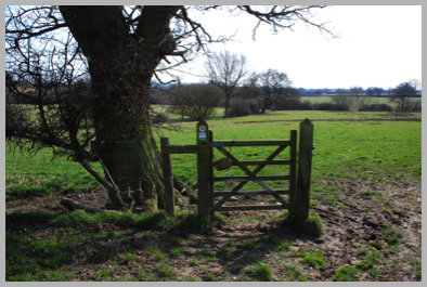
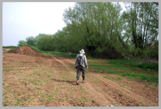
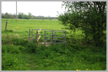
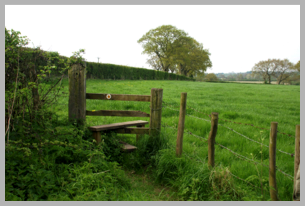
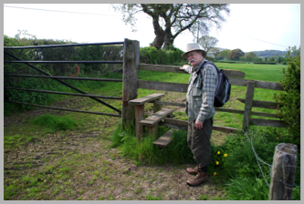
Walk through the gate and down the hill with the wood on your left along footpath FP-4 and come to a double stile and bridge across a small stream running down from the Thrift. The path heads slightly to the right and uphill towards the tree and gate shown.
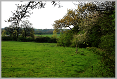
These fields often have sheep in them with lambs in the spring so dogs must be firmly restrained.
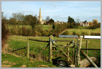
Cross to the next field to the small gate and admire the fine view of the church of St. Peter and St. Paul in Church Hanborough. The path (now Hanborough FP6) leads downhill towards the church where you will find a gate giving access to Pigeon House Lane. This lane leads into Church Hanborough; it is very narrow in places but fortunately traffic is infrequent.
At the Tee junction with Church Road (with the old post office almost directly opposite) turn right. Then after a few metres, when the main road swings left, proceed to the right along the lane with the ‘no through road’ sign.
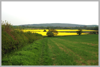
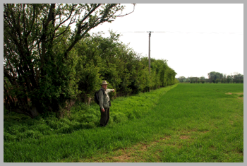
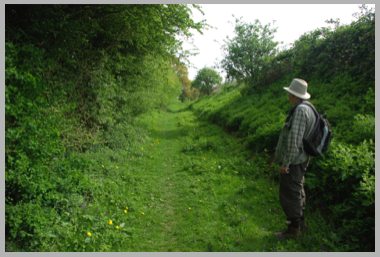
After passing some handsome houses the road ends but the path continues past a gate at the side of a field hedge until a small spinney where it bears slightly left before heading downhill along the field boundary with views towards wooded Wytham Hill in the distance.
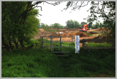
At the bottom of this field is a diversion to avoid a landfill land reclamation site which has recently re-opened.
The new route follows the hedge round to the right until in about 300 metres, at the field corner, the path keeps straight on heading south over reclaimed ground until the stream appears in front of you. Turn left and follow the stream now heading East.
After a short way you meet the original footpath at a bridge where the stream may be easily crossed.
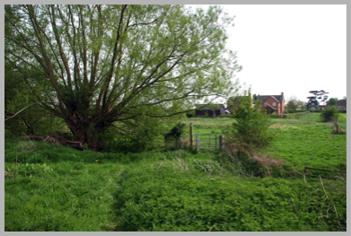
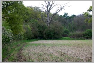
Across the field you can see the City Farm cottages. Head for the left side of the buildings where you will find a roadway leading south.
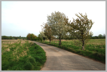
Continue for 200 metres passing the main farm buildings and house to where the road turns sharp left, going east. Follow the tree-lined road but in 100 metres watch for a path on the right heading south again.
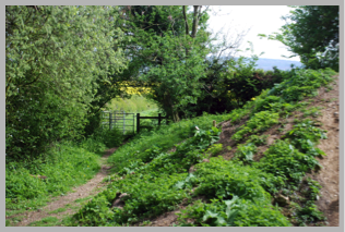
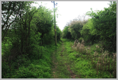
This path continues straight past another landfill site, this one hidden by high earth banks covered in vegetation until you reach a swing gate and bridge over a small stream. Cross the stream and turn right, you are now heading south-west parallel to the A40 which is just visible over the fields to your left.
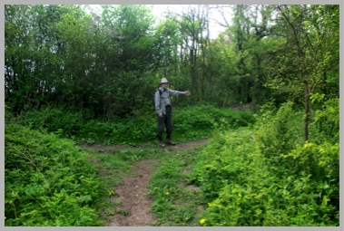
In about 700 metres you will have walked uphill between hedges when you find a track joining from the left and your path will swing right then left.
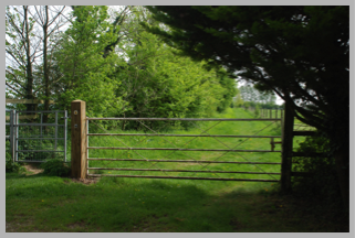
At this second turn you should leave the bridle way and go straight on for 30 metres to a stile which gives access to a field.
You are now heading north on Eynsham footpath FP12. There is a high hedge on your left and at the far side of this field is another stile to the right of a very high iron gate. Having negotiated the equally tall (3 step) stile follow the hedge downhill to a further stile between fields.
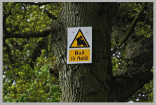
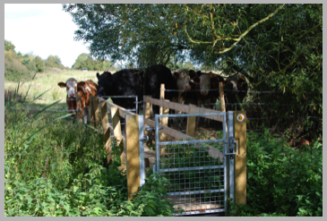
The next two field may have cattle in them, there is a notice warning of a bull in the field!
However, providing he is a dairy breed and there are also cows in the field you should have no problems.
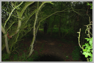
Eventually the path enters a small overgrown spinney before heading downhill alongside a wide sunken stream/ditch. This area is possibly the site of the lost village of Tilgarsley; the field boundaries here are very irregular, but no definite evidence has been found. This village which was larger than Eynsham at the time was abandoned after the Black Death in about 1350 AD.
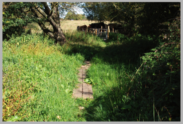
The path, going north, now descends to the stream at the Eynsham/Freeland parish boundary.
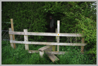
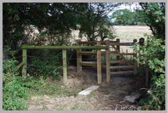
In wet weather this can be a very boggy, wet area and, although there is a wooden bridge over the stream, it may be difficult to reach it unless wearing Wellington boots. Fortunately, recently (September 2009) railway sleepers were laid to form a path over the wettest section.
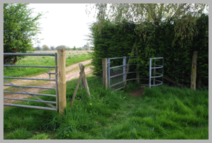
The bridge has also recently been renewed and now has metal swing gates at either end instead of the earlier stiles. There may be cattle present but in our experience they were friendly and curious rather than hostile.
If the path to the bridge is impassable, another possible route (which we managed wearing walking boots) is to head left before the boggy section and to scramble through the undergrowth to reach the bank of the stream.
It should then be possible (with some difficulty) to walk along this bank to reach the bridge.
Having gained the far bank the path heads north, uphill with the hedge on our left. At the far side of the field is another (sometimes slightly boggy) area with a new swing gate between fields. Having negotiated this one turn left and head uphill.
You will now see Vincents wood appearing ahead towards the left.
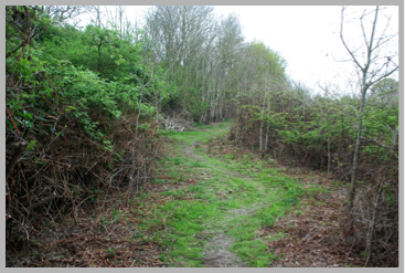
We follow the footpath, recently cleared, to the right of the wood.
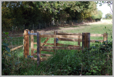
At the top of the wood a fine new swing gate gives access to a field, from where it is a short distance to a gate on the left hand side at the end of the field.
After this gate, the path enters the bridle way (BR-2) leading from the Village Green to Vincents Wood. Turn right (north) and we are soon back at the start of the walk.
© Martin Shann & Peter Newell 2009